Map, Memorize, and Pray: When Getting Lost Could Ruin Your Entire Day
The Sunday Night Map Session
Every Sunday evening across America, a familiar ritual played out in millions of homes. Dad would spread out the road atlas on the dining room table, Mom would grab a pen and notepad, and together they would plan the route for next week's family vacation or business trip. This wasn't casual browsing—this was serious preparation for what could be a navigational nightmare if you got it wrong.
The process was methodical and intense. They would trace the route with their finger, noting highway numbers, major intersections, and landmarks. Mom would write down step-by-step directions: "Take I-95 North for 47 miles, exit at Route 128 toward Burlington, follow signs for Route 2 West." These handwritten instructions would be consulted dozens of times during the actual journey, passed back and forth between driver and navigator like a sacred text.
Getting lost wasn't just an inconvenience—it was a genuine crisis that could add hours to your trip, waste precious vacation time, and strain family relationships to the breaking point. There was no voice in the sky to guide you back on track, no satellite view to show your exact position. If you missed your exit or took a wrong turn, you were on your own in an analog world that demanded real navigation skills.
Your Brain Was Your GPS
Before turn-by-turn directions, Americans developed remarkable spatial memory abilities that we've almost completely lost. People would study maps so intensively that they could visualize the entire route in their minds. They memorized highway numbers, exit names, and mile markers like students cramming for a final exam.
This mental mapping created a deep understanding of geographic relationships that GPS users rarely develop. Pre-navigation Americans knew which direction was north, could estimate distances by time and terrain, and understood how different roads connected to form the larger transportation network. They carried detailed mental maps of their regions that included not just roads, but topography, weather patterns, and seasonal hazards.
The cognitive load was enormous. A typical family road trip required the driver to simultaneously operate the vehicle, monitor traffic, watch for road signs, count mile markers, and maintain awareness of their position on a mental map that might span several states. The navigator—usually the passenger with the best map-reading skills—bore equal responsibility for tracking progress and spotting upcoming turns.
The Art of the Navigator
Being a good navigator was a genuine skill that some people mastered and others never quite got right. The best navigators could read maps while the car bounced down the highway, track multiple route options simultaneously, and spot navigation errors before they became disasters. They knew how to fold maps efficiently, could estimate travel times based on road types, and understood the subtle differences between various map symbols and road classifications.
Navigation teams developed their own communication protocols. "Exit coming up in two miles" was different from "exit coming up soon," and experienced teams could coordinate lane changes and turns with military precision. The worst navigators would suddenly shout "Turn here!" without warning, leading to missed exits and family arguments that could last for miles.
Women often became the designated navigators not because of any inherent gender-based skill, but because they were more likely to admit when they needed to study the map carefully rather than relying on intuition or stubbornness. This created a generation of American women with exceptional map-reading abilities and spatial reasoning skills.
When Wrong Turns Became Adventures
Getting lost in pre-GPS America was a completely different experience from today's minor inconvenience. There was no quick recalculation, no alternative route suggestion appearing instantly on a screen. When you realized you'd made a wrong turn, you had to stop, pull out the map, figure out where you were, and plot a new course back to your intended route.
Gas station attendants became unofficial navigation experts, helping confused travelers interpret maps and providing local knowledge about road conditions, construction delays, and shortcuts. The phrase "You can't get there from here" wasn't just a joke—it was sometimes literally true, especially in rural areas where roads didn't always connect in logical ways.
Some wrong turns led to unexpected discoveries: scenic routes that weren't marked on maps, interesting small towns, or beautiful landscapes that would have been missed on the planned route. Families would sometimes joke that their best vacation memories came from the times they got lost and stumbled upon something wonderful. But for every serendipitous discovery, there were dozens of frustrating delays and stressful arguments.
The Physical Challenge of Navigation
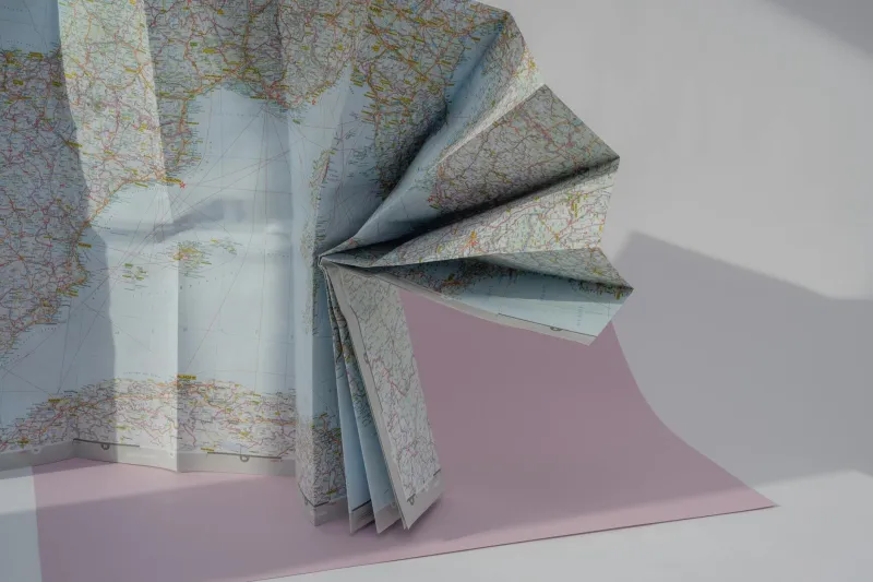
Handling maps while driving was a physical skill that required practice and coordination. Maps were large, unwieldy pieces of paper that had to be folded correctly to show the relevant section without obscuring important details. In windy convertibles or cramped car interiors, keeping a map properly positioned was a constant battle.
Reading maps in low light was particularly challenging. Many families invested in special map lights that clipped onto the dashboard or visor, but even these created glare problems and battery drain issues. Night driving through unfamiliar territory was genuinely nerve-wracking because you couldn't easily check your position or spot upcoming turns.
The wear and tear on frequently used maps was significant. Popular routes would show creases, tears, and coffee stains that marked the history of family travels. Some families would reinforce important map sections with tape or buy multiple copies of atlas pages for routes they traveled regularly.
The Social Aspect of Getting Lost
Being lost in pre-GPS America was inherently social because you had to ask for directions from real people. This meant stopping at gas stations, knocking on doors, or flagging down other drivers. These interactions were often memorable and sometimes led to interesting conversations with locals who knew the area intimately.
Giving directions was also a social skill. People would provide elaborate verbal maps: "Go down this road until you see the big red barn, then turn left at the church, and when you get to where the old Miller place used to be, you'll know you've gone too far." These directions often included local landmarks that weren't on any official map but were perfectly clear to anyone familiar with the area.
The phrase "You can't miss it" became a running joke among travelers because locals always overestimated how obvious their landmarks would be to strangers. What seemed like a prominent building or distinctive intersection to a local resident could be completely invisible to someone unfamiliar with the area.
What We Lost When We Stopped Getting Lost
GPS navigation brought obvious benefits: reduced stress, saved time, and the confidence to explore new areas without fear of becoming hopelessly lost. But neuroscience research suggests we may have sacrificed important cognitive abilities in the process.
Studies show that people who rely heavily on GPS develop weaker spatial memory and reduced ability to form mental maps of their environment. The hippocampus, the brain region responsible for spatial navigation, actually shows measurable changes in people who stop actively navigating and rely on automated directions.
More subtly, we've lost the deep geographic knowledge that came from studying maps and planning routes. Pre-GPS Americans understood regional geography, climate patterns, and transportation networks in ways that enhanced their overall understanding of the country. They knew why certain routes were faster in summer versus winter, which mountain passes to avoid in bad weather, and how different regions connected geographically.
The End of an Era
The transition from paper maps to GPS wasn't gradual—it was remarkably swift. In the early 2000s, most Americans still used traditional navigation methods. By 2010, GPS devices were standard equipment, and by 2015, smartphones had made dedicated GPS units obsolete. An entire set of cognitive skills that humans had developed over centuries disappeared in less than a decade.
Today, getting lost has become almost impossible, but so has the satisfaction of successfully navigating a complex route through your own skill and preparation. The Sunday night map sessions are gone, along with the sense of accomplishment that came from reaching your destination through careful planning and execution.
We've gained efficiency and convenience, but we've lost something harder to quantify: the intimate knowledge of place and space that came from actively engaging with the geography around us. In our rush to eliminate the possibility of getting lost, we may have also eliminated some of the cognitive benefits that came from finding our own way through the world.